
Ormond Beach ZIP Coverage
Two ZIP codes serve Ormond Beach. One centers on the mainland, and the other follows the Atlantic barrier-island corridor. Neither code is a legal city boundary. The county Property Appraiser's city and millage fields are needed to separate incorporated property from postal territory outside Ormond Beach.
| ZIP | Area served | Postal station | Records note |
|---|---|---|---|
| 32174 | Mainland civic core west of the Halifax River, western growth, and mainland neighborhoods | Ormond Beach Post Office, 260 Williamson Blvd.; 386-676-0693 | Also reaches postal Ormond Beach territory outside the incorporated city |
| 32176 | Beachside Ormond Beach and the Atlantic corridor north through Ormond-by-the-Sea | Ormond Beach Beachside Post Office, 55 E. Granada Blvd.; 386-677-3839 | The clearest postal-name and city-limit mismatch |
Both stations are listed as open weekdays from 8:30 a.m. to 5 p.m. and Saturdays from 9 a.m. to 1 p.m. No authoritative evidence identified an Ormond-specific unique, institutional, or PO-box-only ZIP. Do not add one to a search merely to widen the list.
Verify Ormond Beach ZIP Codes
Use the USPS city and state lookup to check the postal code tied to a mailing place. For one full address, use the USPS address route and preserve apartment or condominium unit details. The lookup confirms postal delivery, not municipal services, elections, permits, or court jurisdiction.
The official city-and-state search is pictured below.
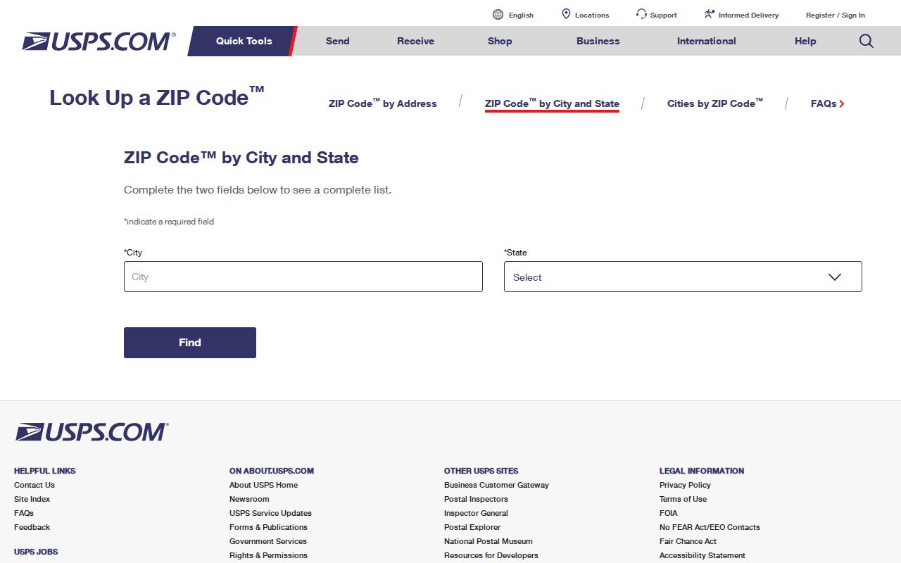
The result gives the postal starting point. Continue to a parcel record before deciding which local office holds property or permit information.
A second USPS ZIP Code Lookup route supports address and ZIP searches.
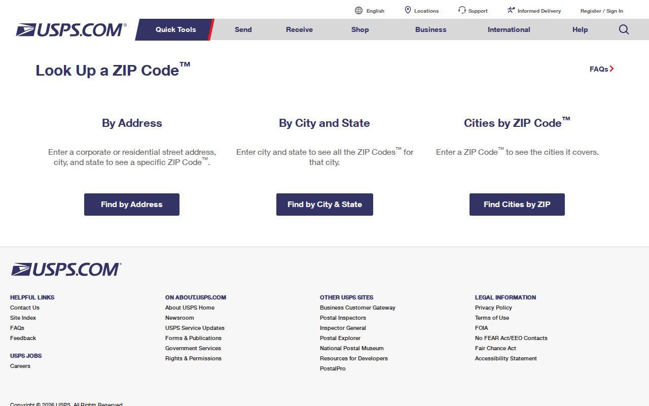
That broader tool is useful when the spelling, street suffix, or ZIP+4 needs confirmation.
Find Ormond Beach Residents by ZIP
The Volusia County Property Appraiser search accepts a ZIP and can return Alternate Key, parcel, owner, site address, city, and property class. It can also export results to Excel or a mailing list. A ZIP-wide result is a property-owner list, not a complete list of occupants. Renters, relatives, and protected addresses may not appear.
- Confirm the full mailing address and ZIP with USPS.
- Enter the ZIP in the Property Appraiser search, adding the city field when the result set crosses a boundary.
- Open the parcel and compare site address, owner mailing address, and legal description.
- Inspect the city or millage field to determine whether the parcel is incorporated.
- Use a lawful Elections public-record request only when voter-file data is relevant, then narrow the result by date and address.
Once the ZIP code directory narrows the area, use the Ormond Beach street directory for address-level work. It covers parcel, deed, permit, and reverse-directory steps without turning a whole postal area into a claim about one household.
Ormond Beach ZIP Search Fields
The parcel portal provides several filters that keep unlike address concepts apart. ZIP and City are especially important in Ormond Beach because a 32176 search can cross the municipal line into Ormond-by-the-Sea.
| Field | Use | What it controls |
|---|---|---|
| ZIP | Postal-area filter | Returns parcels carrying the selected delivery code |
| City | Locality filter | Separates ORMOND BEACH from ORMOND BY THE SEA |
| Owner | Name search | Finds a named ownership interest, not all occupants |
| Site address | Physical-property search | Connects a street address with a parcel |
| Alternate Key or Parcel ID | Exact identifier | Avoids confusion among similar street text |
| Subdivision, block, lot | Legal geography | Connects the parcel to recorded plats and deeds |
Do not guess how each digit of a parcel ID works. The research located official search modes but not a reliable digit-by-digit interpretation.
Ormond Beach ZIPs and City Limits
An “Ormond Beach, FL 32176” label can sit outside the city in unincorporated Ormond-by-the-Sea. The same issue occurs in 32174 territory west and north of the municipal boundary. ZIP polygons route mail. Municipal borders decide which city handles permits and code matters. County offices handle deeds, parcels, and elections throughout Volusia County.
VCPA millage 201 identifies city property, while millage 200 identifies unincorporated northeast county property. Check the live parcel record rather than assuming the code settles jurisdiction. For incorporated sites, Ormond Beach GIS and Planning can route map and development questions at 386-610-0507 or 386-610-0520.
- ZIP code
- A USPS delivery-area code, not a city boundary.
- ZIP+4
- The basic ZIP plus four digits that narrow a delivery segment.
- PO-box ZIP
- A code reserved mainly or solely for post-office boxes; none was verified as Ormond-specific.
- Unique ZIP
- A code assigned to one high-volume organization; none was verified here.
- Carrier route
- A mail-delivery route within a ZIP, which may cross other civic lines.
32174 Covers Mainland Ormond Beach
ZIP 32174 covers the mainland civic core west of the Halifax River, western growth, and other mainland neighborhoods. Granada Boulevard, also State Road 40, is the major east-west spine. Postal Ormond Beach continues beyond the incorporated line, so the mainland ZIP still needs a jurisdiction check.
The area's property history can also follow subdivision and survey geography rather than the street pattern a visitor sees. The city developed from the 1875 New Britain subdivision, and a historic-structure report notes that beachside subdivision lines followed the older grid even where government survey lines ran east to west. Legal descriptions are the durable bridge when a text address is not enough.
32176 Crosses the Ormond Beach Line
ZIP 32176 covers incorporated beachside Ormond Beach and continues north through unincorporated Ormond-by-the-Sea. It is the strongest local example of why a postal name should not choose the custodian. A city permit search applies only inside the municipal boundary. County property and Clerk records cover both sides.
Condominiums add another complication. A building-wide address can hide distinct unit parcels, ownership names, trusts, and out-of-area tax mailing addresses. Search the exact unit and parcel when possible. A ZIP-wide owner export cannot reveal every resident in a multi-unit building.
Note: Beachside and mainland properties may share familiar directional language, so retain the parcel identifier and legal description with each result.
Separate Ormond Beach Address Types
Three address forms often appear in one ZIP code search. Keeping them distinct prevents false matches and shows why one record may seem to point elsewhere.
- Situs address
- The physical location of the parcel, used in assessor and permit searches.
- Owner mailing address
- Where tax notices go; it may be outside Ormond Beach or Florida.
- Legal description
- The recorded subdivision, lot and block, or metes-and-bounds text that identifies land.
- Postal city
- The USPS locality used for delivery, which does not establish incorporated jurisdiction.
A trust or remote mailing address is not proof that the parcel is vacant. Likewise, the parcel owner's name is not proof that the owner occupies the site.
Choose Ormond Beach Records by Border
Use the event or property boundary to choose the office. Ormond Beach handles municipal permits and code files for incorporated addresses. The Property Appraiser, Clerk, and Elections office cover the county. Courts follow county and judicial boundaries, and federal cases for Ormond Beach fall within the Middle District of Florida.
The Florida Courts jurisdiction resources help explain those court layers.
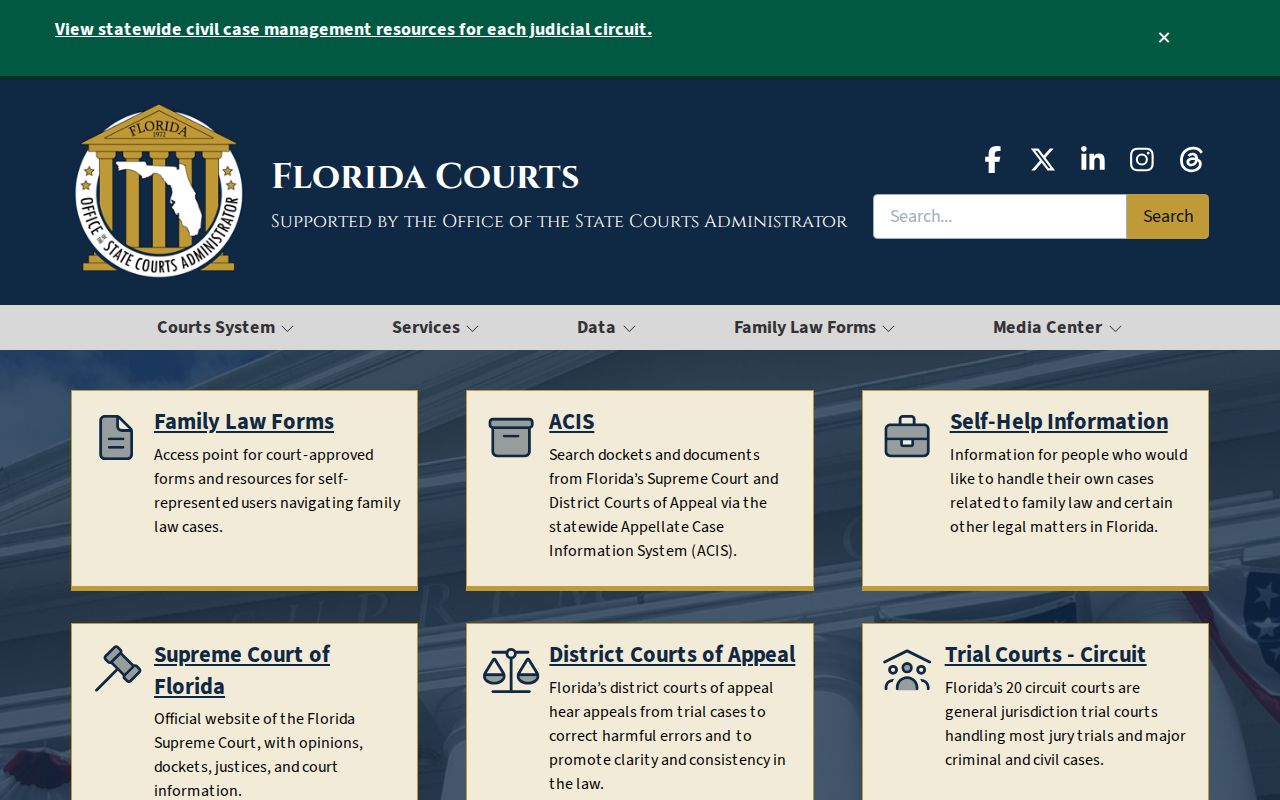
The court structure is a reminder that a ZIP code does not determine every records system. For voter data, the public self-lookup is identity-gated and is not a street roster. Submit a precise request to Volusia Elections when a lawful public extract is needed. Protected fields and exempt addresses remain withheld.
What ZIP-Wide Results Miss
No ZIP code directory can name every household member. Assessor data centers on ownership. Voter records exclude people who are not registered and protect specified data. Postal tools confirm delivery. Utility maps show service territory, and school-zone tools show public district assignment. None is a universal resident roll.
Use at least two independent sources and reconcile dates. A parcel result plus a recent deed can confirm an owner and transaction. A lawful voter record can add a dated registration link. Historical reverse directories can connect an old address to a listed subscriber. Each source should keep its own date and limits.
Florida also protects certain addresses through Safe Address and exemptions under section 119.071. Do not try to defeat those protections. Public information must be used for lawful personal research, never stalking, harassment, or harm.