
Walk an Ormond Beach Street
Begin with the exact address as USPS or a recent bill formats it. The street directory search then moves from a physical place to a parcel, from the parcel to a named tax owner, and from that owner to dated documents. Each source answers a different question. The Volusia County Property Appraiser shows the current parcel record. The Clerk shows recorded transfers and liens. City permits show work at the site. Voter data, when lawfully requested, and old reverse directories can add resident clues, but neither turns the tax roll into a complete household list.
- Enter the street number, direction, street name, suffix, unit, city, and ZIP in the Property Appraiser search. Omit the number to browse a whole street.
- Open the parcel detail. Copy the short parcel ID, alternate key, situs, owner, mailing address, and legal description.
- Use the official GIS map to click nearby lots and confirm that the parcel shape matches the address.
- Follow the sale or deed reference into the Clerk’s Official Records index. Match the legal description, not just the street text.
- Add city permit history, a lawful voter-file extract, or a verified criss-cross directory entry only when the question calls for it.
The result is an evidence trail, not a claim that every named owner resides there. A good street-by-street worksheet gives each fact a date and source.
Search VCPA by Address
The VCPA Classic Real Property Search is the fullest static form for an Ormond Beach street directory search. It accepts a single address, a partial street, a condo unit, or a broader geographic combination. Results identify alternate key, short parcel, owner name, site address, city, and property class. Detail pages generally add mailing address, legal description, exemptions, values, sales references, building facts, sketches, and map links.
| Field | Use by street | Format note |
|---|---|---|
| Street # | One parcel | Leave blank for the named street |
| Dir / Street / Suffix | Build the street name | Direction and suffix have lists |
| Unit | Narrow a condominium | Use the recorded unit |
| City / ZIP | Limit geography | Ormond Beach and Ormond-by-the-Sea are separate |
| Subdivision / Block / Lot | Follow a plat | Useful when an address changed |
| Millage Group | Check jurisdiction | 201 is Ormond Beach; 200 is unincorporated northeast |
VCPA supports list and map views, selected-parcel review, Excel export, a mailing list, and proposed tax notices. Those tools describe taxable parcels and owners. They do not publish a complete resident roll.
The source screen below shows the official property search used for address work. The classic search page exposes the fields that make whole-street browsing possible.
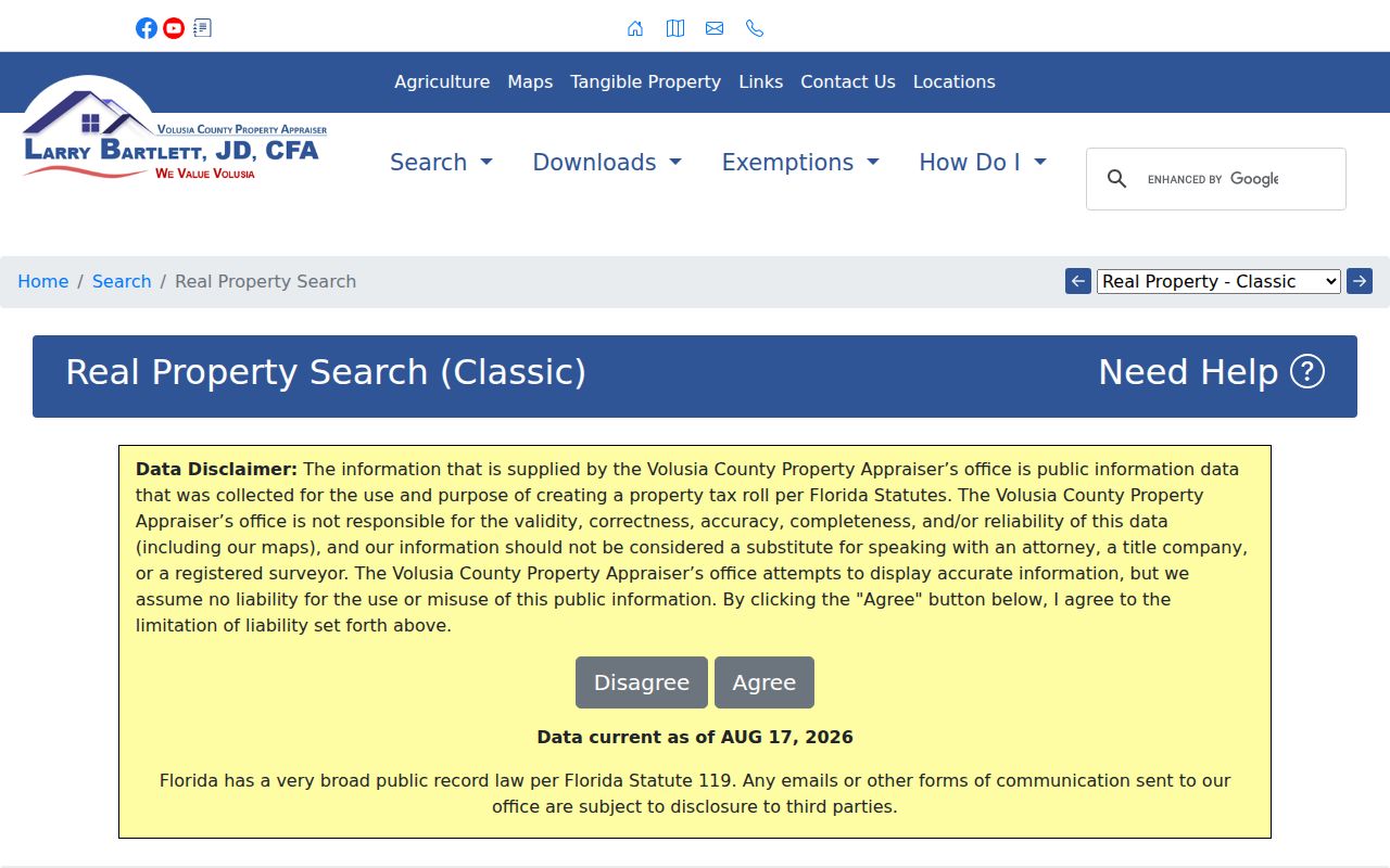
Use the returned parcel key to keep later deed and permit checks tied to the same land.
Map Ormond Beach Parcel Rows
The Property Appraiser’s GIS adds spatial context that a list cannot. Search an address or parcel, zoom to the block, click the target, and inspect the touching lots. Official descriptions say the viewer includes parcel boundaries, aerial imagery, county and some city zoning, plus a surrounding-owner mailing-list function. Exact buffer radii and every live layer were not confirmed, so do not assume a tool is present until it appears on screen.
The VCPA search-mode directory links Quick, Advanced, Sales, Map, and Classic routes. Its screen is shown below.
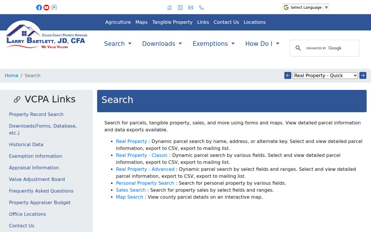
Switching between list and map views helps catch a wrong unit, duplicate street name, or parcel on the other side of the Halifax River.
Ormond Beach Street Record Layers
No one roll is a full street directory. The strongest method chains records that are keyed by address or parcel and keeps their limits in view.
| Address record | Official keeper | What it contributes | Access route |
|---|---|---|---|
| Property roll | Volusia Property Appraiser | Owner, situs, tax mail, legal description, exemptions | Free web search |
| Parcel GIS | Volusia Property Appraiser | Lot shape, nearby parcels, aerial and zoning context | Free map viewer |
| Deeds and plats | Volusia Clerk/Recorder | Parties, dates, document image, legal description | Web from 4/4/1988; DeLand media from 1887 |
| Permits | Ormond Beach Building Division | Scope, owner or contractor, application and final dates | Tyler Civic Access or city request |
| Voter information | Volusia Elections | Nonexempt registered-voter fields | Defined public-record request |
| Historic directories | Libraries and archives | Dated subscriber or resident snapshots | Digital, branch, microfilm, or reference request |
Use the parcel ID and legal description as the joins. Street spelling alone is weaker, especially across annexation, condo, and postal-boundary issues.
Situs Versus Ormond Beach Mail
Situs means the parcel’s physical address. The owner mailing address is where tax notices go. A mismatch may reflect an out-of-area owner, trust, estate, manager, or mere mailing choice. It is not proof of a renter. Matching situs and mail, combined with a current homestead exemption, is stronger evidence of owner occupancy, but it still cannot name every person in the home.
- Parcel
- A mapped tract with its own tax identifier.
- Situs address
- The physical address assigned to that parcel.
- Plat
- A recorded map that identifies a subdivision, block, and lot.
- Criss-cross directory
- A directory arranged by address or phone rather than surname.
An “Ormond Beach” mailing city may describe property outside city limits. Check the VCPA city and millage fields before sending a permit or code request to the city.
Ormond Beach Deeds by Street
Once the parcel supplies an owner or instrument reference, search the Volusia Official Records Inquiry. Its name, instrument number, book/page, document type, and date fields can locate deeds, mortgages, easements, liens, judgments, notices, and plats. A deed index normally shows instrument number, recording time, type, book/page, indexed parties and roles, page count, and an image link. The image adds execution date, postal addresses, witnesses, notarial acknowledgment, and the full legal description.
The current Clerk screen is pictured below. It is the record source that turns a tax owner into a dated grantor and grantee trail.
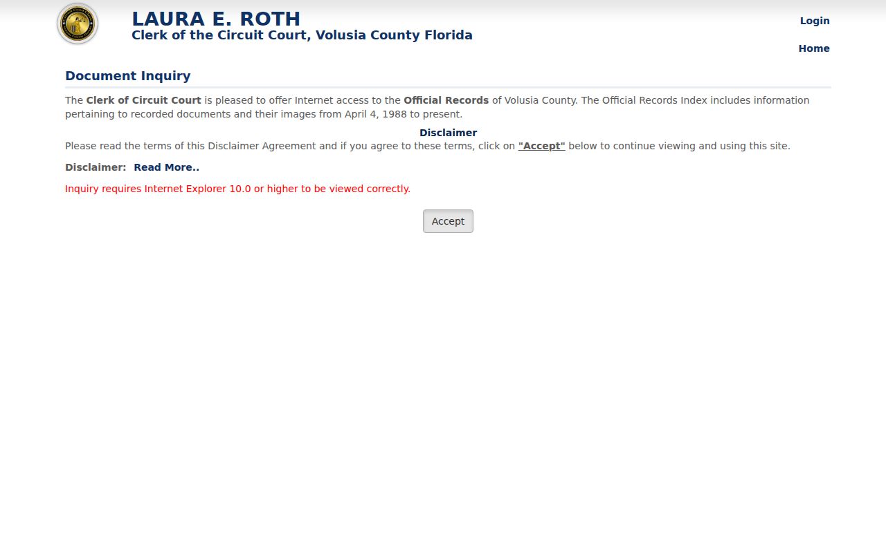
Online released records and images start April 4, 1988. Free web printing is distinct from a certified copy, which costs $1 per page plus $2 per document. Staff can teach the equipment but will not conduct a title search.
Bridge Ormond Beach Record Eras
A failed web result does not prove that no deed exists. The Recording Department’s public research area in DeLand reaches 1887 through microfilm and digital media. Historical books may require an appointment at 386-736-5912. This three-part chronology matters: Volusia County was created in 1854, marriage books begin in 1855, general courthouse research media begin in 1887, and the released web index begins in 1988.
Older addresses also need wider catalog terms. Ormond was the city’s earlier name, and Greater Daytona directories can include Ormond listings. Search “Ormond,” “Ormond Beach,” and the relevant area title. Then compare the legal description so a new street label does not break the chain.
Ormond Beach Permits by Address
Tyler Civic Access accepts address, parcel number, or permit number. Public general detail can show applications, permit history, and status. Permit files may identify owner or contractor, work scope, application, issue and final dates, and sometimes value. They date changes to a building, not every person who lived there.
For missing history, contact the Building Division at 386-610-0540 or use a city records request. Code cases can provide dated property evidence through Neighborhood Improvement or the City Clerk when no full public history search exists. Florida’s post-July 2021 rule generally requires a code complainant’s name and address, and the city warns that supplied contact details and report become public records.
Historic Ormond Beach Occupants
Old address directories supplement deeds when the question shifts from ownership to occupancy. Verified Library of Congress telephone runs cover Daytona-area directories including Ormond from 1939 through 1954. A 1948 entry can name a subscriber, residence marker, abbreviated street, locality, and telephone number. Federal census schedules through 1950 can show a household, while 1921 and 1931 Sanborn maps show building footprint, material, use, and street context rather than names.
The collection details belong on the Ormond Beach city directory page. For street work, transcribe the exact address and date, check adjacent editions, and treat a directory year as an interval clue rather than a precise move date.
Street Directory Geography Checks
Mainland and beachside Ormond Beach are split by the Halifax River. ZIP 32174 generally covers the mainland core and growth areas, while 32176 follows the beachside corridor and extends into unincorporated Ormond-by-the-Sea. ZIPs route mail. They do not set city boundaries.
For a beachside record, verify the USPS form, VCPA city value, parcel, and millage. A condo unit should be searched as its own parcel when possible. Building-wide address results can blur many units and owners. The legal description is safer than familiar street words whenever records disagree.
Ormond Beach Street Directory Limits
Property records omit renters and unlisted household members. The voter self-lookup uses first name, last name, and date of birth so a voter can check status, precinct, polling place, and districts. It is not a public street browser. A defined Elections records request may provide nonexempt fields, but signatures, identification numbers, source information, full birth dates, and protected addresses face statutory limits.
Safe Address participants and other exempt people may not appear where expected. Utility and delivery records are not substitutes. Commercial compilations can also carry stale address links, so confirm important facts with the office that keeps the official record.
Lawful use. Use Ormond Beach street records for family research, property history, civic curiosity, or personal safety. Never use an address trail to stalk, harass, intimidate, or harm anyone.
A street directory is best read as a set of dated public facts. It cannot certify the full present household behind any door.